 The vision of a wetland and upland corridor along the
Great Salt Lake shoreline, preserved for resident wildlife
and migratory shorebirds, is a desired future condition
the Mitigation Commission set in its first Plan. The Commission
is partnering with many government organizations, landowners,
conservation groups, agencies and others to help make it
a reality. The vision of a wetland and upland corridor along the
Great Salt Lake shoreline, preserved for resident wildlife
and migratory shorebirds, is a desired future condition
the Mitigation Commission set in its first Plan. The Commission
is partnering with many government organizations, landowners,
conservation groups, agencies and others to help make it
a reality.
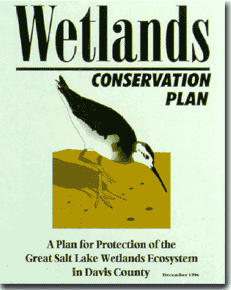
An example of this is the Commission's involvement
in Davis County's planning effort that resulted in
the Wetlands Conservation Plan: A Plan for Protection
of the Great Salt Lake Wetlands Ecosystem in Davis
County. The Plan was adopted by both the Mitigation
Commission and Davis County Commission. It helps identify
wetland acquisition priorities and provides important
background for the more comprehensive Davis County Shorelands Master Plan. The Shorelands Plan
is being uniquely implemented by each city in Davis
County using innovative approaches such as transfer
of development rights, which encourages open space
preservation along with development, while compensating
participating landowners.
The Commission funded a similar planning effort in
Box Elder County. The Box
Elder County Comprehensive Wetlands Management Plan was
completed in August 1999. It was adopted by the Box Elder County
Commission in August 1999 and by the Mitigation Commission in November
1999. The key Wetlands Plan recommendation - to develop a "Special Area
Management Plan" (SAMP) for the Brigham City and Perry City area - is to be developed
by
Box
Elder County and the cities through a grant from
the U.S. Environmental Protection Agency (EPA).
The SAMP process provides the opportunity to look at a
contiguous area and collectively (with the public and landowners)
determine those areas most important for wetlands protection
and those more suitable for development. The SAMP includes
strategies to mitigate financial impacts to wetland owners
where the desired outcome is wetlands protection.
Drawing from experiences in Davis and Box Elder Counties,
the planning process has been
refined to also map wetlands and develop SAMPs for wetlands at risk to development
in Salt Lake and Tooele Counties.
In
Salt
Lake
County, the Commission partnered with Envision Utah to develop a Great Salt Lake South
Shorelands Plan. Work on detailed mapping and a Functional Assessment was carried
out through 2005. Based on the outcome of the
Shorelands Plan, a SAMP and General Permit are expected
by 2006 for the areas where wetlands are most at risk
to
development. In Tooele County, mapping and a Functional Assessment have been
completed and a SAMP and General Permit from the U.S.
Army Corps of Engineers was anticipated in 2005. |